Bandaisan Gold Line

Bandaisan Gold Line

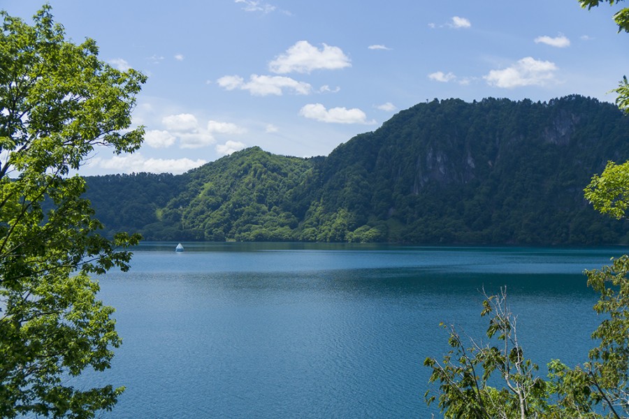
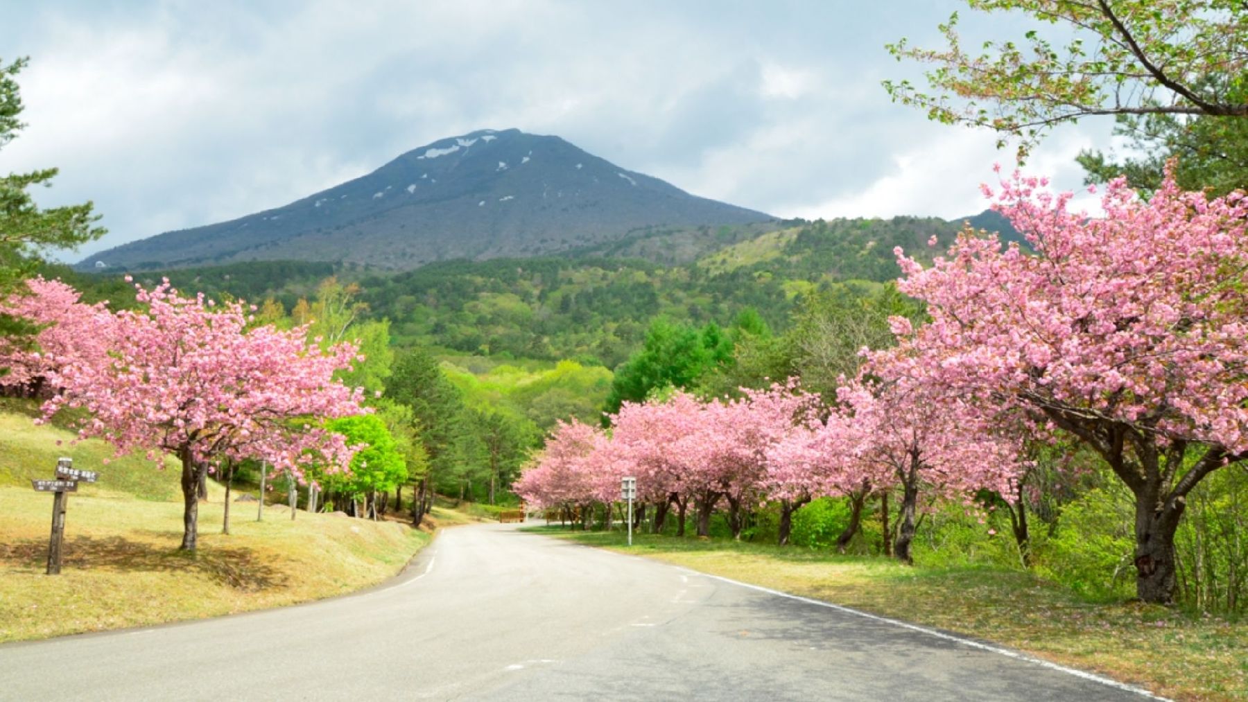
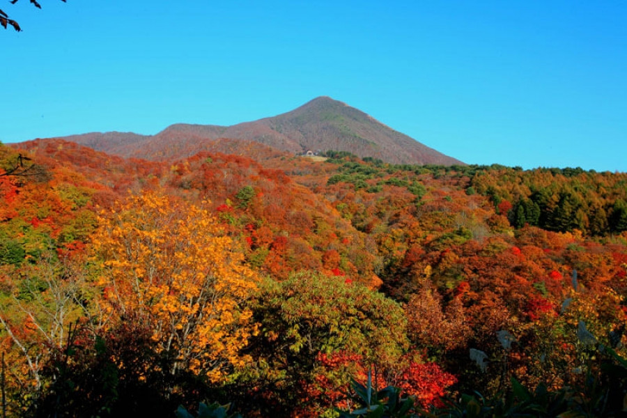
The Bandaisan Gold Line road connects Bandai Kogen, a highland rich with lakes diverse in shapes and size, and various alpine plants, and the Aizu area, which has an immensely rich and fascinating history.

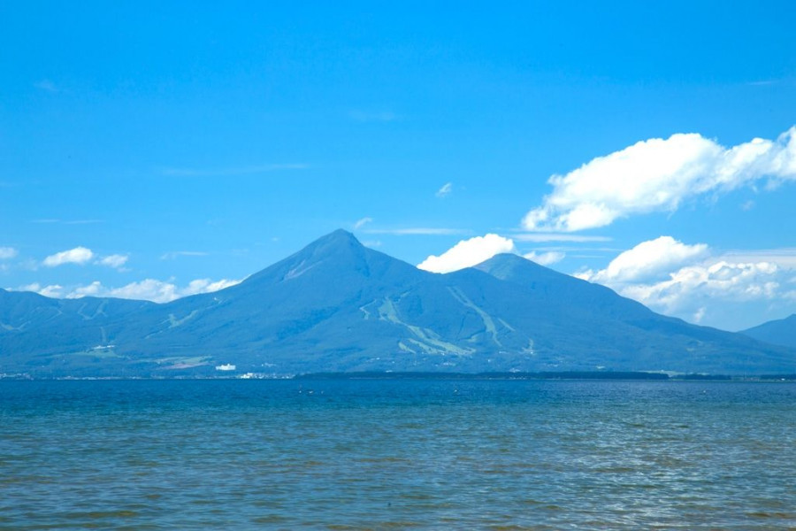
This submontane sightseeing road offers diverse views of Mt. Bandai (known in Japanese as 'Bandai-san') and can lead visitors to either the mountain's rugged caldera or to the picturesque Lake Inawashiro.

Visitors can discover new hidden gems every time they explore the Gold Line by car, making it a very popular spot to return to among tourists and locals.

The area surrounding the road is known as a foliage-viewing spot with hairpin curves that carve through the woodlands.

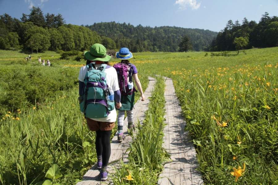
On the walking trail that leads to Baya-ike, a "phantom" waterfall, visitors can take in the beauty of the landscape as they hike. The most highly recommended walking course extends from Happodai to the Oguninuma wetlands, where in late June, visitors are greeted by ban array of beautiful, broad dwarf day-lilies.

Venue Details

Venue Details
Websitehttps://www.urabandai-inf.com/en/?page_id=25023
Contact

Urabandai Tourism Association

(+81) 241-32-2349

Best Season
  • Spring
  • Summer
  • Autumn
ParkingAvailable
Related infoOpen from mid-Apr. through to mid-Nov. (The road is closed every year from mid-Nov. onwards.)
Access Details
AccessShimizudaira-6838 Sarashina, Bandai Town, Yama District, Fukushima Pref. 969-3302
View directions
Getting there

By Car: 10 min drive from Bandai-Kawahigashi I.C. exit off the Ban-etsu Expressway (Enter via Genbashi Toll Gate)

Nearby

The World Glassware Hall
History & Culture

The Warehouses of Kitakata

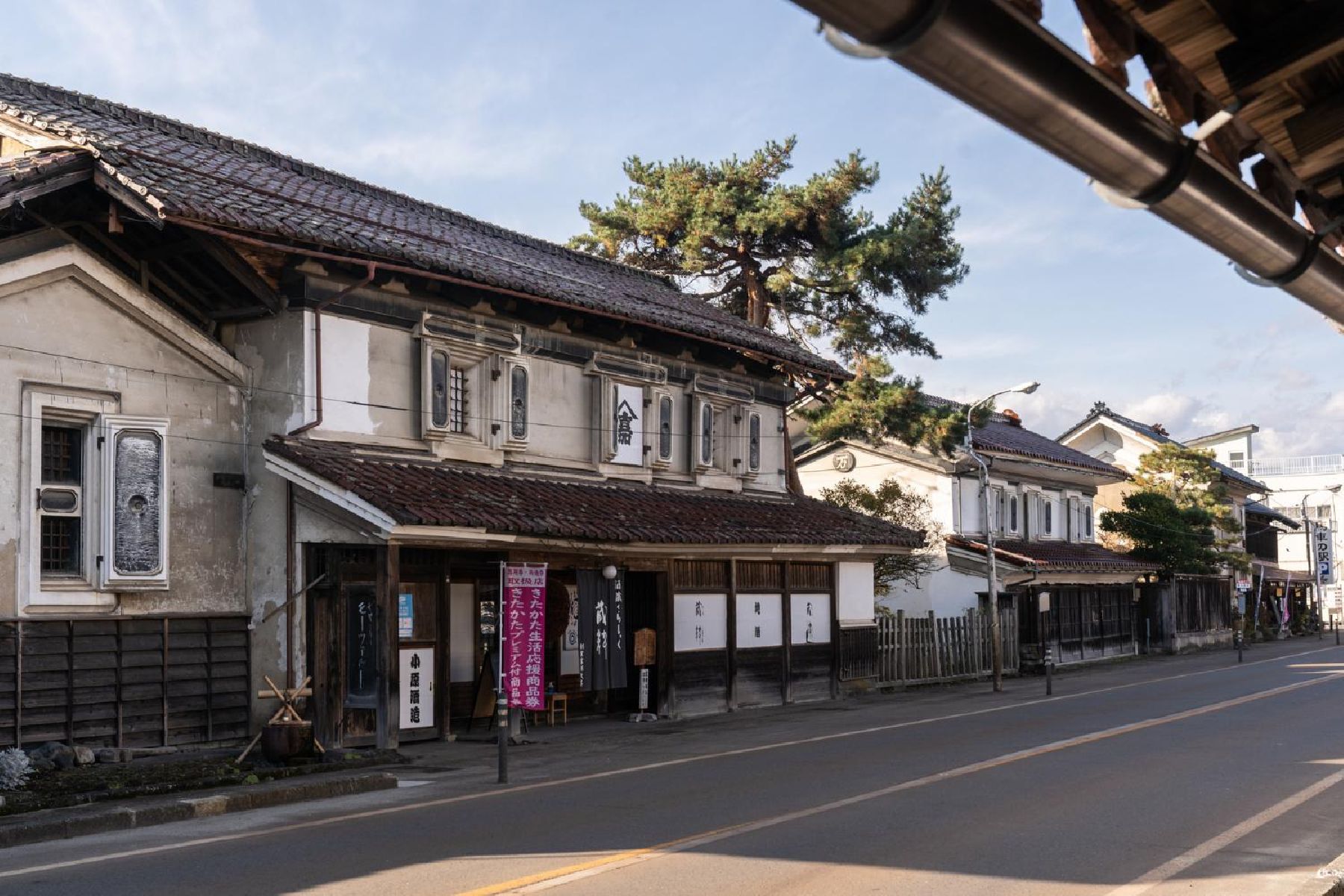
In the Meiji and Taisho eras, Kitakata City experienced a boom in the construction of kura (traditional Japanese storehouses). There are approximately 4,200 still left in the city today. While these were used both as storehouses for businesses in the brewing and lacquerware industries, the building of a kura has traditionally been considered among Kitakata locals as a great symbol of status, and a source of pride.In the Mitsuya District, the rows of brick storehouses are reminiscent of rural Europe, whereas in the Sugiyama district, they have roofs that take the appearance of helmets. Visitors can see a range of kura and other traditional buildings at Kitakata Kura-no-Sato museum, or enjoy exploring the kura of the city on foot or by bike.See here for a 1 day itinerary for visiting Kitakata City.Check out a map of the kura located around Kitakata City.

The World Glassware Hall
Nature & Scenery

Nakatsugawa Valley

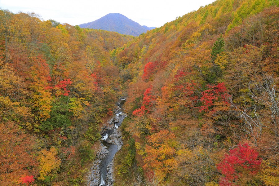
Nakatsugawa Valley is famous for its beautiful fall foliage. The Nakatsugawa River is a clear stream flowing down from Bandai Kogen (Bandai Highland) to Lake Akimoto. In autumn, the leaves of the many trees, such as maples, alders, and wild cherry trees, turn brilliant and bold colors. The valley can be reached via the lakeside cycling road or by following the trail from the Nakatsugawa Valley Rest House Lake Line Parking Area. Take a relaxing stroll along the ravine while breathing in the mountain air full of healthy negative ions.

You might also like

Kagamizakura
Nature & Scenery

Kagamizakura

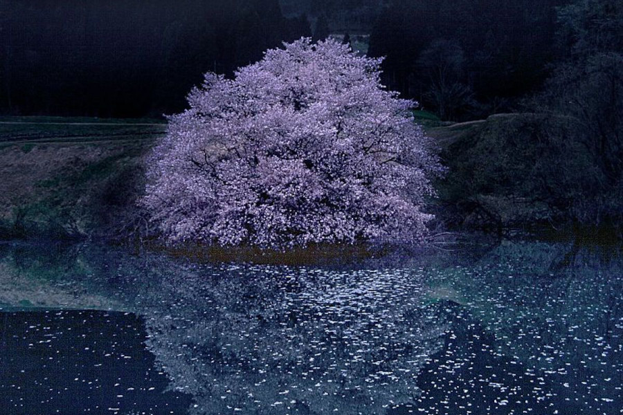
Kagamizakura is a huge Sargent's cherry located in the Numanotaira area, Yamato-machi, Kitakata City. Numanotaira is also known as the home of one million Fukujusō (vibrant yellow flowers). Rich with nature, the area contains many wildflowers and wild mountain vegetables. The single Sargent’s cherry is located on the edge of a pond called “Kagami Ike” (lit. Mirror Pond). The age of the tree is unknown but it is estimated to be over 100 years old. The trunk consists of dozens of roots growing from the foot of the tree. The tree's branches spread out widely, making it look as if the tree is leaning over toward the pond. When the flowers of the cherry tree blossom, the scenery with the reflection on the surface of the pond is exceptionally beautiful. The dark pink flowers typical of Sargent’s cherry are simply gorgeous.

Tenkyodai Showa-no-Mori Park
Nature & Scenery

Tenkyodai Showa-no-Mori Park

Tenkyodai Showa-no-Mori Park (天鏡台・昭和の森公園) is a wide plateau close to Mount Bandai in Inawashiro Town, famous for its impressive views of Lake Inawashiro surrounded by lush greenery. East Asian and Somei Yoshino cherry blossom trees bloom spectacularly, typically from early to mid May, against the backdrop of the mountains. During autumn, the rows of colorful red and orange trees make for an unmissable sight. Visitors can follow the strolling paths and enjoy 30 or 60 minute hikes.From the viewing platform, don’t miss the incredible sights of lake Inawashiro and Mt. Bandai.Best season for sakura viewing (previous years): Early to Mid-May (dates vary each year).Please note that the park closes during winter (approximately from December until mid-April).

Oze National Park
Nature & Scenery

Oze National Park

Oze is home to a plethora of beautiful flowers. These include the Asian skunk cabbage that blossoms in the marshes as the snow melts, and the bright yellow of the Nikko Kisuge, which is reflected in the marshes just when the surrounding mountains become green. The nature of Oze is symbolized by its beautiful flowers, and together with the mountains, lakes, marshes, rivers, forests, and wildlife that lives in this region, create a stunning sight. Chozo Hirano opened up the area around 100 years ago, and because of the protection of its magnificent nature up until now, Oze has become a symbol of nature conservation in Japan. The beautiful nature of Oze presents a different face throughout the seasons, and all continue to charm us. Key points of the sightseeing spot/ recommended points for tours:  In order to both preserve the precious nature of Oze, and to be able to come face-to-face with its splendor, we recommend that you visit on weekdays, and take your time to encounter the nature of Oze. Oze has the Ozenuma Visitor Center and the Oze-Yamanohana Visitor Center as locations from which you can both appreciate Oze's nature, and learn about the environment. At the visitor center, you can learn from displays that explain in an easy-to-understand the formation of the nature in Oze, points to see, and the most up-to-date information about the natural environment. This lets you more fully enjoy the appeal of the nature of Oze.Visits are even more enjoyable when you know more; therefore we recommend visits with a guide who can tell you more about the nature and charm of Oze. We urge visitors to make use of the certified guides who have a wealth of knowledge about Oze's nature, culture, and history, and who can ensure your visit is safe.

Mt. Bandai
Nature & Scenery

Mt. Bandai

Originally known as Iwahashi-yama, literally a rock ladder to the sky, the renamed Mt. Bandai is no less impressive. Often referred to as 'Aizu's Mt. Fuji', Mt. Bandai is one of the 100 most famous mountains in Japan, and has even been selected as one of the top 100 geographic landmarks in Japan. In 2011, the mountain was certified as a geopark, which is a unified area with geological heritage and international significance, as defined by UNESCO. There are seven climbing routes for Mt. Bandai, with the trail starting at the Happodai trailhead being the most popular, and easiest route. From the Happodai trailhead, the 3.5 km route takes around 2 hours to reach the summit.The various routes range from 2 to 4 hours and from 3 to 7 km. At Koubou Shimizu, one of the mountain stops, there are two shops where trekkers can buy drinks, snacks, and souvenirs, but please note that there is no accommodation available. For many Buddhist mountain fanatics, Mt. Bandai holds a place of great significance. Enichi-ji Temple, located on the southwestern foot of Mt. Bandai, is a popular temple to visit nearby. The mountains situated around the temple make for a serene vista where one can feel the power of nature. Enichi-ji Temple was founded one year after Mt. Bandai erupted, in 807 C.E.; in the past, some superstitious people believed there was a connection between the eruption and the temple’s founding... Interestingly, Mt. Bandai used to be shaped more like the famous Mt. Fuji, but after a volcanic eruption in 1888, the shape changed to what we see today. It is thanks to that eruption that the mountain gained its rugged, sharp look and the Urabandai area behind Mt. Bandai was created. For non-hikers, the Bandaisan Gold Line is a popular sightseeing road that leads up the southwestern side and offers brilliant vistas of the foliage, especially in autumn when the colors change.
Top