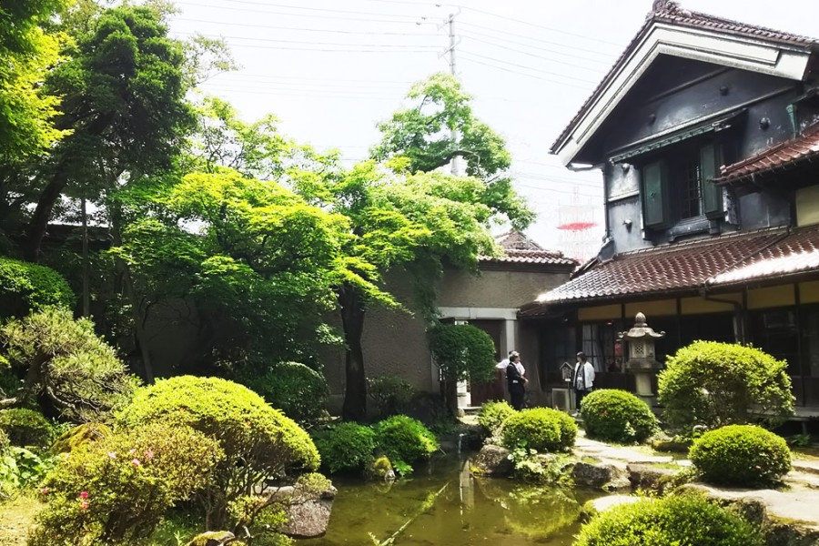
Sannokura Plateau Sunflower Field

Sannokura Plateau Sunflower Field

In summer, the 5.4 hectares of land within the Sannokura Ski Resort grounds become painted yellow with 1.5 million sunflowers. The sunflower field consists of 3 main areas, which can be enjoyed from early August to early September. Also, visitors to Sannokura Plateau between March and June can enjoy impressive views of fields of bright, yellow canola flowers. What's more, no matter the season, the panoramic views overlooking the Aizu basin from an elevation of 650 m make a visit to Sannokura Plateau very worthwhile.

Venue Details

Venue Details
Websitehttp://www.kitakata-kanko.jp/(Japanese)
Contact

Kitakata Tourism and Products Association

(+81) 241-24-5200

Best Season
  • Summer
ParkingAvailable
Entrance FeeFree
Accommodation details

Pets: Permitted

Related infoSunflower Season: Early Aug. to early Sep.
Canola Flower Season: Mar. to Jun.
Access Details
Access857-1, Kitagongenmorikou, Aita, Atsushiokanou-machi, Kitakata-City, Fukushima Prefecture
View directions
Getting there

By Car: Approx. 1 hour from Aizuwakamatsu I.C. exit off the Ban-etsu Expressway.

By Train: Get off at Kitakata Station on the Ban-etsu West Line. Form the station, it is approx. 35 min by taxi or rental car.

Nearby

The World Glassware Hall
Nature & Scenery

Bandaisan Gold Line

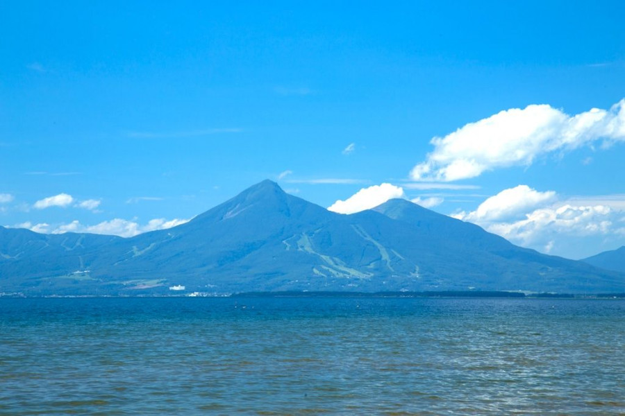
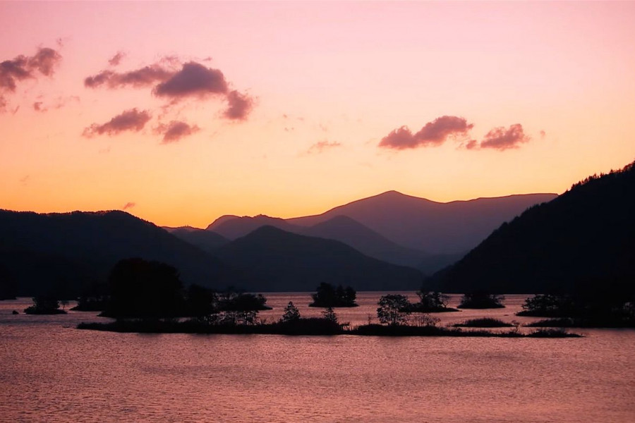
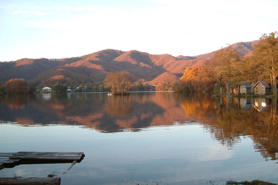
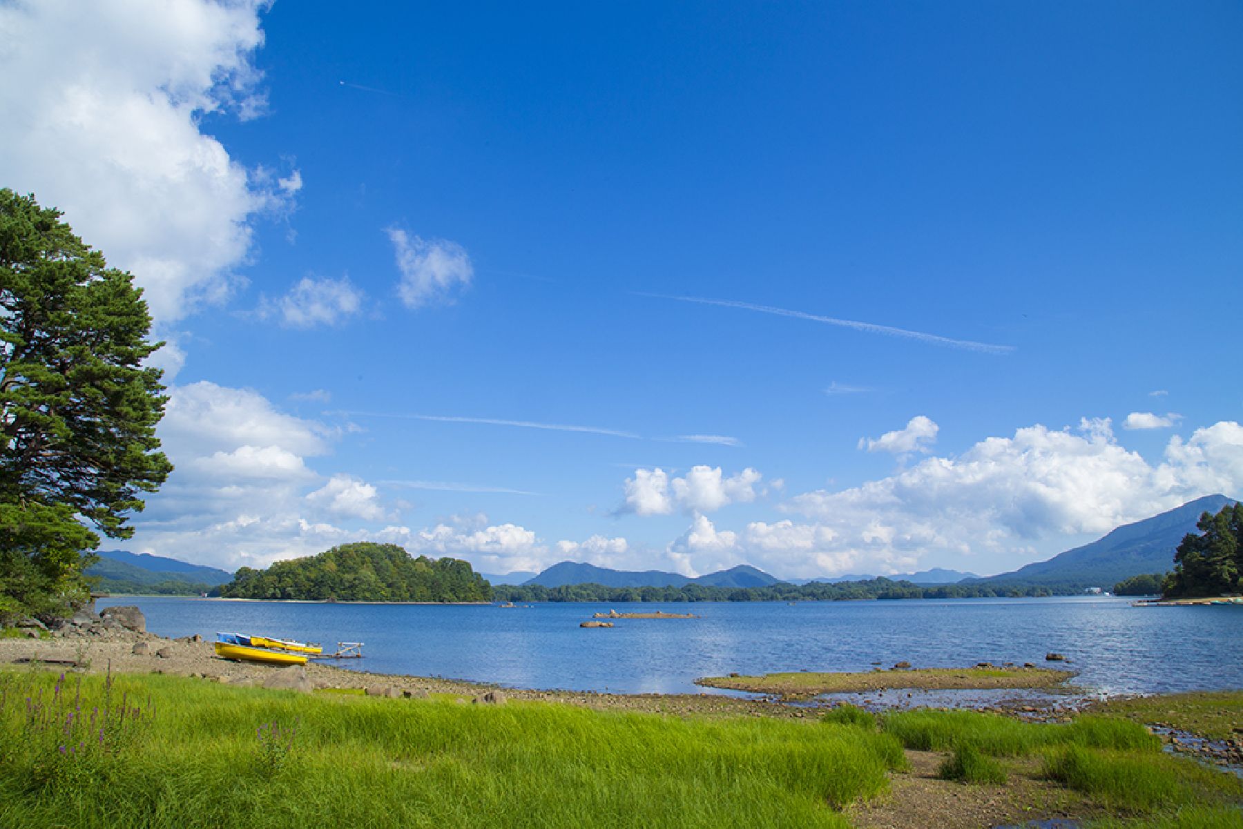
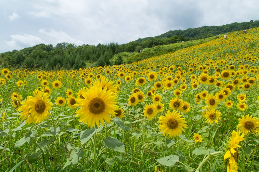
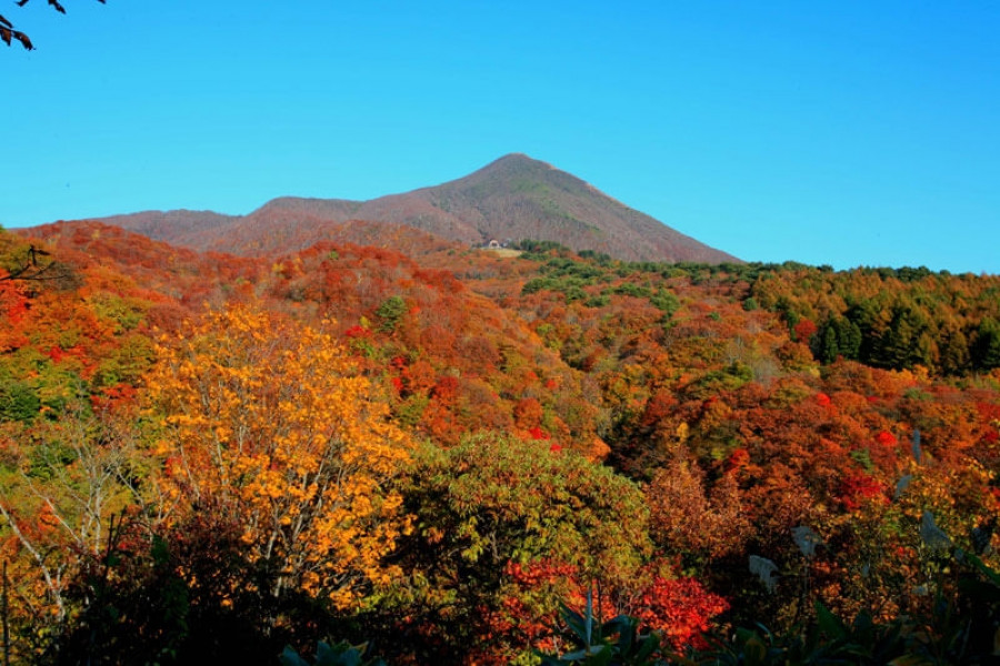
The Bandaisan Gold Line road connects Bandai Kogen, a highland rich with lakes diverse in shapes and size, and various alpine plants, and the Aizu area, which has an immensely rich and fascinating history. This submontane sightseeing road offers diverse views of Mt. Bandai (known in Japanese as 'Bandai-san') and can lead visitors to either the mountain's rugged caldera or to the picturesque Lake Inawashiro. Visitors can discover new hidden gems every time they explore the Gold Line by car, making it a very popular spot to return to among tourists and locals. The area surrounding the road is known as a foliage-viewing spot with hairpin curves that carve through the woodlands. On the walking trail that leads to Baya-ike, a "phantom" waterfall, visitors can take in the beauty of the landscape as they hike. The most highly recommended walking course extends from Happodai to the Oguninuma wetlands, where in late June, visitors are greeted by ban array of beautiful, broad dwarf day-lilies.

The World Glassware Hall
Nature & Scenery

Mt. Bandai

Originally known as Iwahashi-yama, literally a rock ladder to the sky, the renamed Mt. Bandai is no less impressive. Often referred to as 'Aizu's Mt. Fuji', Mt. Bandai is one of the 100 most famous mountains in Japan, and has even been selected as one of the top 100 geographic landmarks in Japan. In 2011, the mountain was certified as a geopark, which is a unified area with geological heritage and international significance, as defined by UNESCO. There are seven climbing routes for Mt. Bandai, with the trail starting at the Happodai trailhead being the most popular, and easiest route. From the Happodai trailhead, the 3.5 km route takes around 2 hours to reach the summit.The various routes range from 2 to 4 hours and from 3 to 7 km. At Koubou Shimizu, one of the mountain stops, there are two shops where trekkers can buy drinks, snacks, and souvenirs, but please note that there is no accommodation available. For many Buddhist mountain fanatics, Mt. Bandai holds a place of great significance. Enichi-ji Temple, located on the southwestern foot of Mt. Bandai, is a popular temple to visit nearby. The mountains situated around the temple make for a serene vista where one can feel the power of nature. Enichi-ji Temple was founded one year after Mt. Bandai erupted, in 807 C.E.; in the past, some superstitious people believed there was a connection between the eruption and the temple’s founding... Interestingly, Mt. Bandai used to be shaped more like the famous Mt. Fuji, but after a volcanic eruption in 1888, the shape changed to what we see today. It is thanks to that eruption that the mountain gained its rugged, sharp look and the Urabandai area behind Mt. Bandai was created. For non-hikers, the Bandaisan Gold Line is a popular sightseeing road that leads up the southwestern side and offers brilliant vistas of the foliage, especially in autumn when the colors change.

You might also like

Shibuki-gori (Naturally-forming ice sculptures)
Nature & Scenery

Shibuki-gori (Naturally-forming ice sculptures)

If you head to Tenjinhama beach on Lake Inawashiro in the depths of winter, through the trees at its south towards the mouth of the Nagase river, you will see the "shibuki-gori" natural ice sculptures. Lake water is picked up by strong winds from the west, and meets the trees on the coastline. There it creates a very unusual phenomenon with a beauty that rivals the "juhyo" (ice-covered trees) seen at the tops of mountains. Local peoples and visitors alike never tire of these sights. You can also see other shapes formed by ice here, such as ice drifts and the prominent "Omiwatari" cracked, rising ice on the beach and lake surface. Please note that Shibuki-gori are natural ice sculptures, and therefore their appearance and size change by the day. Please check before visiting.

Urabandai Highlands
Nature & Scenery

Urabandai Highlands

The Urabandai highlands of northern Fukushima Prefecture, are situated at an altitude of 800 meters and surrounded by Mt. Bandai, Mt. Adatara, and Mt. Azuma. The highlands were created by Mt. Bandai erupting in 1888. Urabandai is part of Bandai Asahi National Park and offers a variety of seasonal attractions. Cool weather in summer and deep snow in winter make Urabandai a perfect place for both indoor and outdoor enjoyment. About 300 lakes and ponds, including the Goshiki-numa Ponds and Lake Hibara, are scattered across Urabandai. The harmonious beauty of nature created by the abundant woodlands and lakes will certainly touch the hearts of all visitors.

Lake Hibara
Nature & Scenery

Lake Hibara

The rock slides caused by the steam eruption of Mt. Bandai in 1888 blocked countless rivers, and lead to the creation of over 300 lakes and ponds spread throughout the area. Lake Hibara is the largest of these lakes, and with a length of 10 km running along the ravine of the Hibara River, and a shoreline of 37 km, it is Japan's largest lake to be created by natural dams caused by a volcano eruption.Lake Hibara is now the focal point of tourism in the Urabandai region, and from rambling along sightseeing trails in summer to Japanese pond smelt fishing in the winter, there are countless ways for visitors to refresh and invigorate themselves. Guides are available with a reservation.

Top